In this article
- 1. Why hike in Andorra in July?
- 2. Comparative table of the best route
- 3. Lakes of Tristaina: Andorra's most emblematic route
- 4. Pessons Cirque: for experienced hikers
- 5. Madriu-Perafita-Claror Valley: the only valley without roads
- 6. Pic de Coma Pedrosa: the roof of Andorra
- 7. Engolasters Lakes: the perfect family excursion
- 8. Iron Route: history and nature without effort
- 9. Sorteny Valley: the botanical garden of the Pyrenees
- 10. Practical tips: what the locals know (and guidebooks don't tell you)
- Book your activities
- Common mistakes to avoid
- What to pack in your backpack (July checklist)
- Access and parking
- 11. Where to stay for hiking in Andorra
- Frequently asked questions
July is the best month of the year for hiking in Andorra. The high mountain snow has almost completely disappeared, afternoon storms are less frequent than in August, and the Principality's more than 70 glacial lakes shine in all their splendor. With valley temperatures between 16 °C and 24 °C and a network of perfectly marked trails exceeding 600 km, Andorra offers options for all levels in July: from 2-hour family walks to demanding full-day ascents. In this guide, you will find the most recommended routes, their technical data, essential local tips, and everything you need to plan your excursion.
1. Why hike in Andorra in July?
Andorra is a small country " 468 km² " but with a completely alpine geography: its average altitude is 1,996 meters above sea level, and 90% of its surface exceeds 1,000 meters. This makes hiking here a completely different activity from other destinations: cooler, quieter, and with a landscape density per kilometer that is hard to find in the Pyrenees.
July specifically offers the best conditions of the year for several reasons:
- Snow disappears from most high mountain routes by late June or early July, opening access that is still dangerous in spring.
- Afternoon storms —frequent in August— are significantly less common in July, according to climate data from the Servei Meteorològic d'Andorra.
- Days have up to 15 hours of sunlight, allowing for longer outings without time pressure.
- Alpine flora is at its peak: grandallas, rhododendrons, and gentianellas paint the valleys with colors.
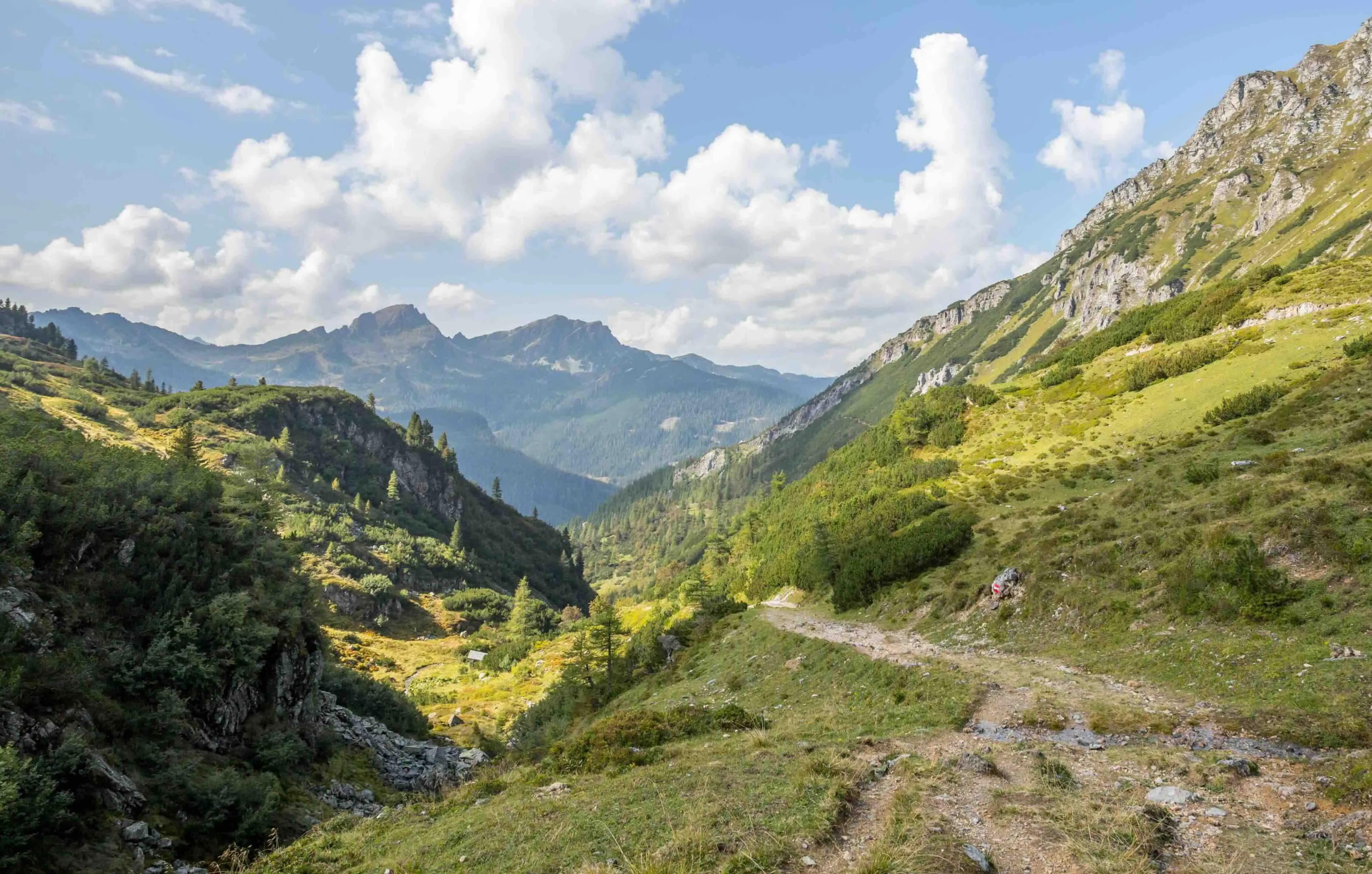
The Principality has three protected natural areas: the Madriu-Perafita-Claror Valley (UNESCO World Heritage, 4,247 ha), the Comapedrosa Valleys Communal Natural Park, and the Sorteny Valley Natural Park (UNESCO Biosphere Reserve since 2020). All three are at their best in July.
2. Comparative table of the best route
Route | Distance | Elevation gain | Duration | Difficulty | Profile |
Lakes of Tristaina | 4.4 km | 200–210 m | 2–3 h | Easy | Family / beginners |
Lakes of Engolasters | 3.4 km (Camí de les Pardines) | 70 m | 1–1.5 h | Very easy | Family with children |
Iron Route (Llorts) | ~8 km (round trip) | Minimal | 2–3 h | Very easy | Families / culture |
Sorteny Valley (to the refuge) | ~6 km | 400 m | 3–4 h | Easy-moderate | Nature / botany |
Pessons Cirque | 11–13 km | 800–1,000 m | 5–6 h | Moderate-high | Fit hikers |
Madriu Valley (to Estany de l'Illa) | ~23 km (round trip) | 1,000 m+ | Full day or 2 days | High | Experienced |
Pic de Coma Pedrosa | 15–16 km | 1,300–1,372 m | 7–9 h | High | Expert hikers |
Note:Times are approximate for a moderate pace. The elevation gain and terrain at altitudes above 2,000 m require minimal physical preparation and adequate equipment, even if there is no technical climbing difficulty.
3. Lakes of Tristaina: Andorra's most emblematic route
If you can only do one route in Andorra in July, make it this one. The circular route of the Lakes of Tristaina combines accessibility, high mountain scenery, and spectacular views in a way that is hard to match.
.jpeg&w=3840&q=75)
Technical data:
- Distance: 4.4 km (circular)
- Accumulated elevation gain: ~200–210 m
- Duration: 2–3 hours
- Maximum altitude: 2,330 m (Estany de Més Amunt)
- Difficulty: easy, suitable for the whole family
- Starting point: La Coma Restaurant parking (Arcalís sector, Ordino)
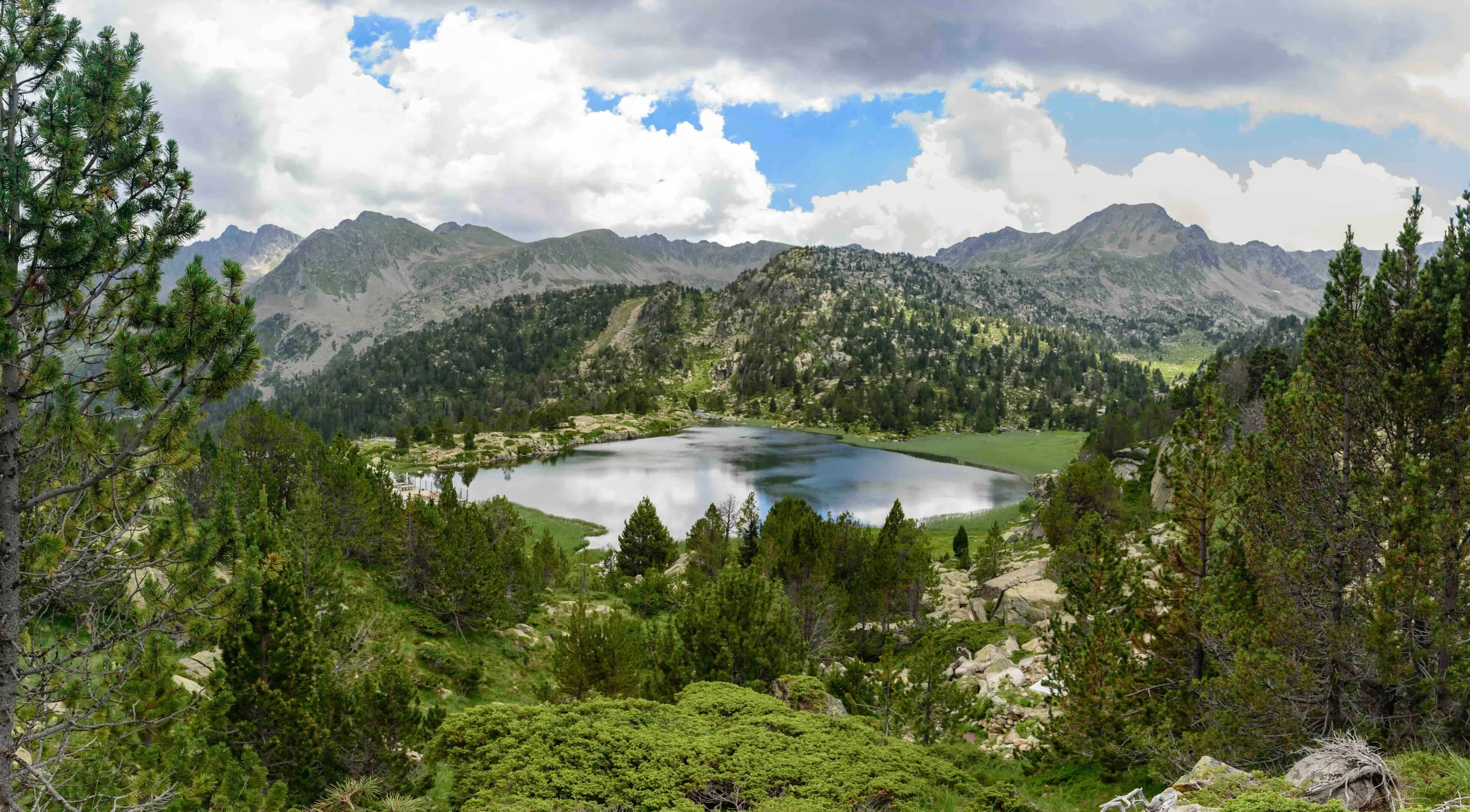
The glacial cirque of Tristaina is home to three tiered lakes: Estany Primer (the smallest, with the clearest waters and the only one where swimming is allowed), Estany del Mig (surrounded by crags), and Estany de Més Amunt (the highest on the route, at 2,306 m). The peak of Tristaina watches over them from its 2,878 meters.
The trail is marked with yellow signs and stone cairns. From the parking lot in La Coma, it can be accessed on foot or, if operational, by cable car.
Important note: in summer, private car access to La Coma is restricted to cyclists who want to conquer the Port d'Arcalís, so check the access regulations before you go.
Local tip: if you decide to extend the route, from Estany del Mig you can ascend to the Tristaina Solar Viewpoint, a spherical platform 25 meters in diameter located at 2,701 m with 360° views over the Franco-Andorran border. The viewpoint can also be accessed via the Tristaina cable car and the Creussans chairlift, which operate for hikers in summer.
Why July and not August? August afternoon storms are less predictable. In July, if you leave before 9:00 AM, you are almost guaranteed clear skies until noon.
4. Pessons Cirque: for experienced hikers
The Pessons cirque, in the Grau Roig sector (Grandvalira), is the largest glacial cirque in Andorra and is home to more than 12 interconnected lakes in an imposing granite profile. The landscape is more austere and vertical than Tristaina, making it a favorite for hikers seeking a true high-mountain feel.
Technical data:
- Distance: 11–13 km (circular)
- Elevation gain: 800–1,000 m
- Duration: 5–6 hours
- Maximum altitude: ~2,864 m (Pic dels Pessons)
- Difficulty: medium-high
- Starting point: Grau Roig ski resort parking
The route ascends towards Montmalús peak (2,781 m) and follows the cirque's ridge with views over several glacial lakes. Estany de les Fonts and Estany del Cap dels Pessons, at the end of the route, are the best resting points.
It is a route that has no technical difficulty, but the elevation gain and the type of terrain (rocky areas and sections without a marked trail on the ridge) require a reasonable physical level. Not suitable for families with small children.
5. Madriu-Perafita-Claror Valley: the only valley without roads
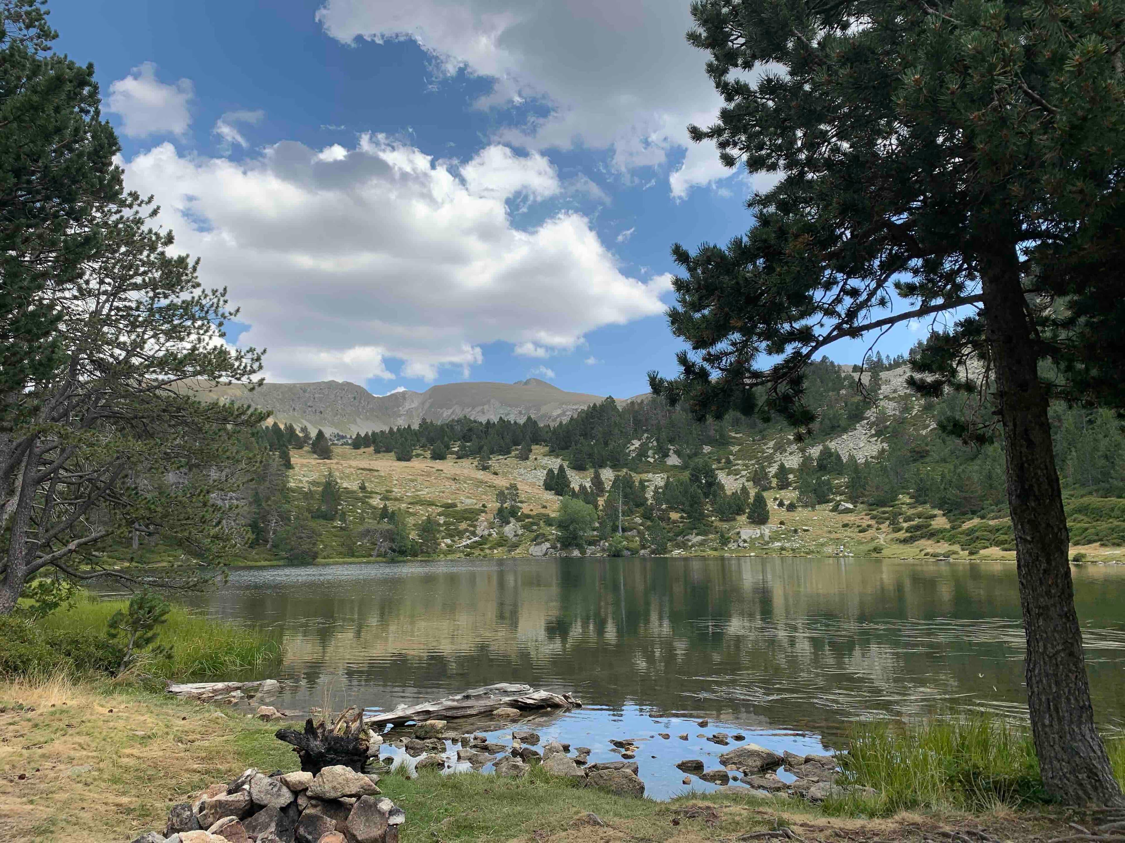
The Madriu-Perafita-Claror Valley is, arguably, the most special corner of Andorra. It was declared a UNESCO World Heritage cultural landscape in 2004, recognizing the centuries-old coexistence between human activity and nature. With 4,247 hectares (10% of Andorran territory) and 12 km in length, it is the only place in the Principality that no road reaches.
Technical data (main route to Estany de l'Illa):
- Distance: ~23 km (round trip)
- Elevation gain: ~1,000–1,200 m (highest point at La Portelleta, 2,905 m)
- Duration: full day or 2 days with overnight stay in a refuge
- Difficulty: high (due to distance and elevation gain, not technical skill)
- Starting point: La Plana road, Escaldes-Engordany
- Marking: GR 7, GR 11 and GRP
The route begins with a more than 700-year-old cobbled path that ascends alongside the Madriu river. Along the way, you pass through restored groups of bordas (Entremesaigües bordas, Ràmio bordas), red and black pine forests, and meltwater waterfalls. At the end of the valley awaits Estany de l'Illa, one of the largest glacial lakes in the Principality.
For a first visit to Madriu, the half-day option (only up to Fontverd refuge, ~1,880 m, 8 km round trip) can be done without special preparation.
Essential: from May to October, guided excursions are organized with prior reservation. For routes above 1,700 m, the Government of Andorra recommends undertaking them between late June and late September.
6. Pic de Coma Pedrosa: the roof of Andorra
At 2,942 meters of altitude, Pic de Coma Pedrosa is the highest point in Andorra and the only true high-mountain route in the Principality. It is not technically difficult —it does not require climbing gear— but it does demand regular physical activity and being mentally prepared for a full day of physical exertion.
Technical data:
- Distance: 15–16 km (round trip)
- Elevation gain: 1,300–1,372 m
- Duration: 7–9 hours
- Maximum altitude: 2,942 m
- Difficulty: high
- Starting point: Valls del Comapedrosa Natural Park parking (free), Arinsal
The route leaves Arinsal following the Pollós river and the Camí dels Carboneres. After the first 4 km of dense forest, you reach the Comapedrosa Refuge (2,265 m, guarded in summer), a perfect spot for a long break. From the refuge, the terrain becomes rockier: Estany Negre precedes the ridge section that leads to the summit. On a clear July day, from the top, you can see the Aneto massif (the peak of the Pyrenees).
The descent can be made via Pla de l'Estany, an alpine meadow that eases the return.
Essential tip: Spanish Social Security does not cover Andorra. Mountain rescues are paid. Always take out travel insurance with adventure sports coverage before heading to Comapedrosa.
7. Engolasters Lakes: the perfect family excursion
If you're traveling with small children or looking for something very simple for an afternoon, the Engolasters Lakes are the ideal option. The Camí de les Pardines, the most accessible section, is a flat 3.4 km trail that starts from Bordes de les Pardines, in Encamp.
Technical data (Camí de les Pardines):
- Distance: 3.4 km (linear, repeated for return)
- Elevation gain: 70 m
- Duration: 1–1.5 hours (not including return)
- Lake altitude: 1,622 m
- Difficulty: very easy
- Starting point: Bordes de les Pardines, Encamp (or car access to the shore)
Engolasters Lake is actually an artificial dam built in 1934 and features Andorra's largest waterfall. Swimming is not allowed, but there is a picnic area and two restaurants on the shore. An adventure park with zip lines operates next to the lake.
Another variant is the ascent from Encamp following the GR signage (white and red markers), a 1.9 km route that allows you to see the Romanesque chapel of Sant Miquel de Engolasters.
8. Iron Route: history and nature without effort
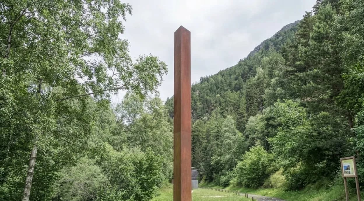
The Iron Route is the perfect excursion if you're looking to walk without physical demands while learning something. It follows the old path of the 'traginer' (muleteers) through the Ordino valley, between Llorts and La Cortinada, tracing the steps of those who transported iron extracted from local mines between the 17th and 19th centuries.
Technical data:
- Distance: ~4 km (linear, ~8 km round trip)
- Elevation gain: minimal
- Duration: 2–3 hours
- Difficulty: very easy, suitable for all ages
- Parish: Ordino
The route runs alongside the river through forests and green areas, marked by outdoor sculptures known as the "iron men" that evoke Andorra's mining past. The Llorts mine, with 30 meters of tunnels, is only open in summer. The route is comfortable, flat, and one of the best options for family days out.
9. Sorteny Valley: the botanical garden of the Pyrenees
The Sorteny Valley Natural Park (1,080 ha, Ordino parish) is, for botany and wildlife lovers, the most special corner of Andorra in July. With over 700 cataloged flora species, it was declared a UNESCO Biosphere Reserve in October 2020. It is a privileged place to spot Pyrenean chamois (isard), Pyrenean newt, and an abundance of alpine butterflies.
Technical data (to Sorteny Refuge):
- Distance: ~6 km (round trip)
- Elevation gain: ~400 m
- Duration: 3–4 hours
- Refuge altitude: 1,965 m
- Difficulty: easy-medium
- Starting point: Sorteny Valley car park
The educational trails "Camino de la Marta" and "Jardín Botánico" are the most accessible. The Borda de Sorteny Refuge, at 1,965 m, offers catering and accommodation for those who want to climb further towards Pico Estanyó (2,915 m, Andorra's second highest peak) or La Serrera.
10. Practical tips: what the locals know (and guidebooks don't tell you)
Book your activities
Common mistakes to avoid
Leaving late. In July, convective storms can develop from 2:00–3:00 PM at high altitudes. Leaving before 8:00–9:00 AM ensures reaching the summits with clear skies.
Underestimating altitude. Above 2,000 meters, the sun burns more intensely, and cold appears with a cloud. High-factor sunscreen, sunglasses, and a fleece in your backpack are essential even in July.
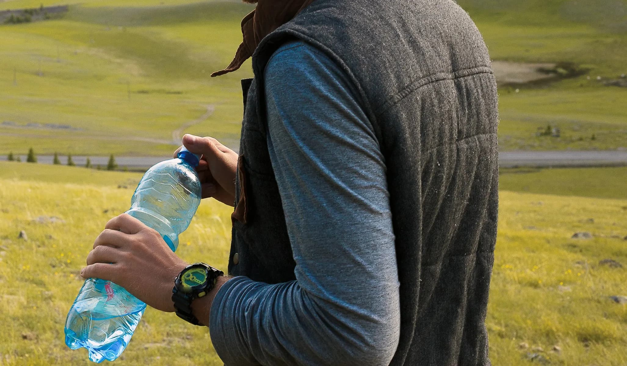
Not carrying enough water. Most routes have streams, but the water is not always safe to drink without filtering. Carry at least 1.5–2 liters per person for medium-length days.
Relying on your phone as your only map. Signal in high valleys can be non-existent. Download the GPS track of the route before leaving or carry the Editorial Alpina map of the area.
Not having travel insurance. Spanish healthcare does not cover Andorra. Rescues by the Fire Department (Cos de Bombers) can be costly.
What to pack in your backpack (July checklist)
- Waterproof trekking boots (essential for any route above 1,800 m)
- Mid-layer (fleece or softshell) even if it's hot in the valley
- Windbreaker jacket or light rain jacket
- SPF 50+ sunscreen and UV filter sunglasses
- Water (minimum 1.5 l) + energy bars or sandwich
- Basic first aid kit and Andorra emergency number: 112
- Trekking poles (highly recommended for Comapedrosa and Pessons)
Access and parking
- Tristaina / Arcalís: restricted access in summer for private cars on the final stretch; check for alternative transport or cable car.
- Comapedrosa / Arinsal: free parking at the entrance to the Natural Park.
- Madriu / Escaldes: parking provided by the Government of Andorra at the start of the valley (minimal cost).
- Pessons / Grau Roig: ski resort parking, free access in summer.
11. Where to stay for hiking in Andorra
For hiking in Andorra in July, the choice of accommodation makes a difference. The parishes of Ordino (access to Tristaina and Sorteny) and La Massana / Arinsal (access to Comapedrosa) are the most strategic for those prioritizing mountain routes. Encamp and Canillo are good starting points for Pessons and the Grandvalira sector.
Check the full range of accommodations available for your dates on our accommodation page: from hotels in the valley to rural houses in the smaller mountain villages.
Do you prefer accommodation that already includes organized activities? On our experiences page you will find guided hiking excursions, routes with certified guides, and adventure options for all levels.
Frequently asked questions
You may be interested in

Most read