In this article
- What is Coma Pedrosa?
- What is the Comapedrosa Valleys Communal Natural Park?
- What are the technical details of the route?
- How to get to the starting point of the route?
- What is the step-by-step route like?
- Section 1 — Prats Sobirans to the refuge (1,575 m → 2,260 m)
- Section 2 — Refuge to Estany Negre (2,260 m → 2,600 m)
- Section 3 — Estany Negre to the summit (2,600 m → 2,942 m)
- The descent: options and variants
- What can be seen from the summit of Coma Pedrosa?
- What is the Comapedrosa Refuge like?
- When is it open?
- How much does the refuge cost?
- What other shelters are there in the park?
- When is the best time to climb Coma Pedrosa?
- What equipment do you need for Coma Pedrosa?
- What are the most common mistakes on this route?
- Are there alternative routes for those who don't want to climb to the summit?
- Coma Pedrosa and the Skyrace: why this peak is an international benchmark in trail running
- Safety tips before heading out
- Where to stay for the Coma Pedrosa route?
- Frequently asked questions
Coma Pedrosa, at 2,942 meters high, is the highest peak in the Principality of Andorra. Its ascent from Arinsal is the country's most emblematic mountain excursion: a high-difficulty route, without climbing techniques required in summer conditions, which rewards with 360° views over the Pyrenees and the satisfaction of having stood on Andorra's highest point. In this guide, you'll find everything you need to plan the climb: the complete technical sheet, the step-by-step route, updated information on the guarded refuge, the best time to go, and essential tips before setting off.
What is Coma Pedrosa?
Coma Pedrosa is the highest peak in the Principality of Andorra, at 2,942 meters high. It is located in the northwest of the country, within the parish of La Massana, and the closest village to the start of the route is Arinsal.
The mountain is part of the Comapedrosa Valleys Communal Natural Park, a protected area declared in 2006 that offers ten marked trails, three mountain refuges, and exceptional Pyrenean high-mountain flora and fauna. The park is the natural gateway to the route and the context that turns the ascent into more than just a climb to a summit.
The first documented ascent of Coma Pedrosa dates back to September 22, 1858. It was carried out by six members of the Hispano-Andorran commission who were at the time delimiting the border between Spain and Andorra, including the syndic Francesc Duran, the sub-syndic Joan Moles, and the Spanish brigadier José Mellid de Bolaño. Ironically, they had believed the border passed through this peak. It was not so, but they left the first record of an ascent to the highest mountain in the Principality.
What is the Comapedrosa Valleys Communal Natural Park?
The park has protected the valleys surrounding the peak since 2006. It features ten official itineraries that allow exploration of the territory at different difficulty levels, from the Interpretive Circuit suitable for all audiences to the ascent to the peak itself. The vegetation changes in altitudinal zones: Scots pine forest in the montane zone, black pine and birch in the subalpine zone, and meadows and scree in the alpine zone.
What are the technical details of the route?
The Coma Pedrosa route starts from Prats Sobirans, in Arinsal, and reaches the summit at 2,942 meters. Here is the complete technical sheet:
Detail | Value |
Total Distance | ~15.4 km (round trip) |
Positive Elevation Gain | +1,372 m |
Negative Elevation Loss | -1,372 m |
Estimated Duration | 6–8 hours (depending on group's physical condition) |
Difficulty | Difficult |
Starting Point | Prats Sobirans, Arinsal |
Starting Altitude | ~1,575 m |
Summit Altitude | 2,942 m |
Marking | GR-11 (white and red markers) + yellow dots on final section |
Route Type | Out and back / circular (with descent variant) |
Best Season | Late May – October |
The duration varies considerably depending on the group's pace. The ascent to the summit takes approximately 3 hours and 40 minutes at a good pace; the descent, about 2 and a half hours. If you spend the night at the refuge and divide the ascent into two days, the experience gains in comfort and time to enjoy the surroundings.
How to get to the starting point of the route?
The start of the route is in Prats Sobirans, on the outskirts of Arinsal, in the parish of La Massana.
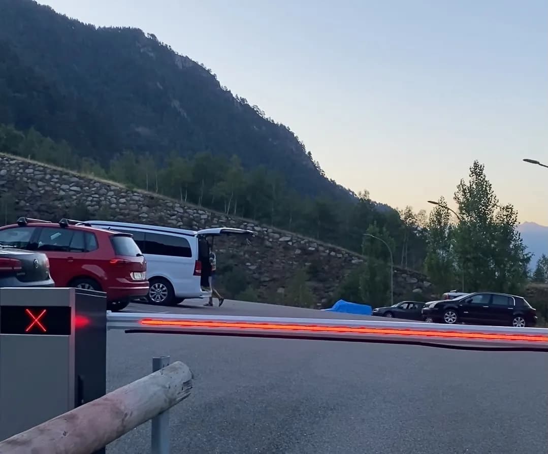
- By car: from Arinsal, follow the road towards the ski resort and go through the tunnel. After exiting the tunnel, turn right. You will find a metal barrier that prohibits vehicle access: that is the parking lot. From there, the route begins on foot.
- By bus: there is a public bus service from Andorra la Vella to Arinsal. Check updated schedules and fares directly with the official operator before your visit, as they may vary by season.
- By VTC (Ride-hailing service): if you prefer to get directly to Arinsal without depending on bus schedules or parking your car, you can book a vehicle with a driver through the Andorra.com mobility service. It's the most convenient option if you leave early in the morning or if your group consists of several people.
What is the step-by-step route like?
The route largely follows the GR-11 trail, the Trans-Pyrenean path, until near the summit. From Estany Negre onwards, yellow dots painted on the rocks guide the final ascent.
Section 1 — Prats Sobirans to the refuge (1,575 m → 2,260 m)
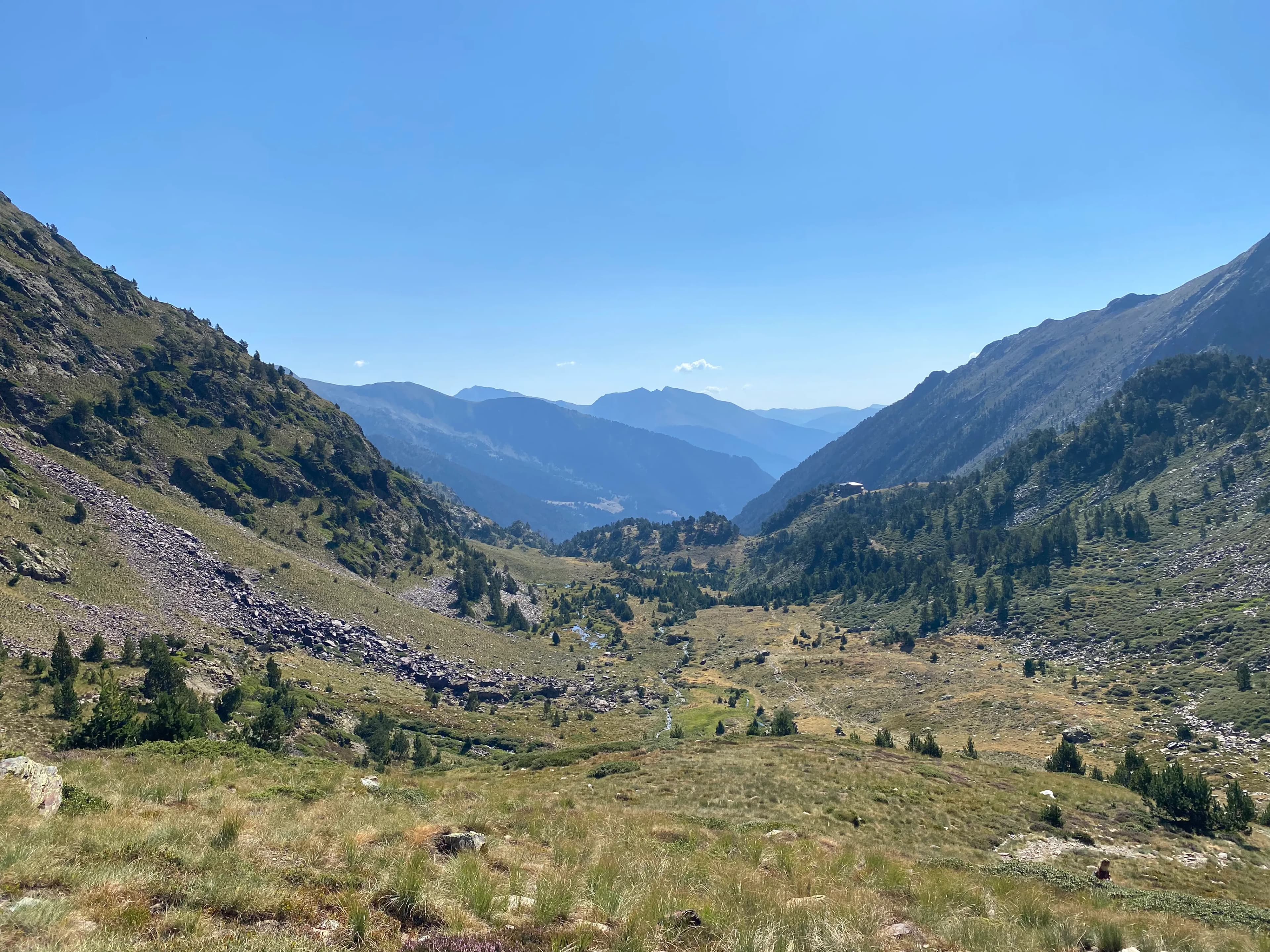
The route starts along the forest track of Prats Sobirans, following the GR-11. In the first few minutes, the path is wide and comfortable, but soon the first signposted junction towards Coma Pedrosa appears. After crossing the bridge over the Pla de l'Estany river, the slope increases significantly in the Coma Pedrosa river section: this is the first serious test of the day.
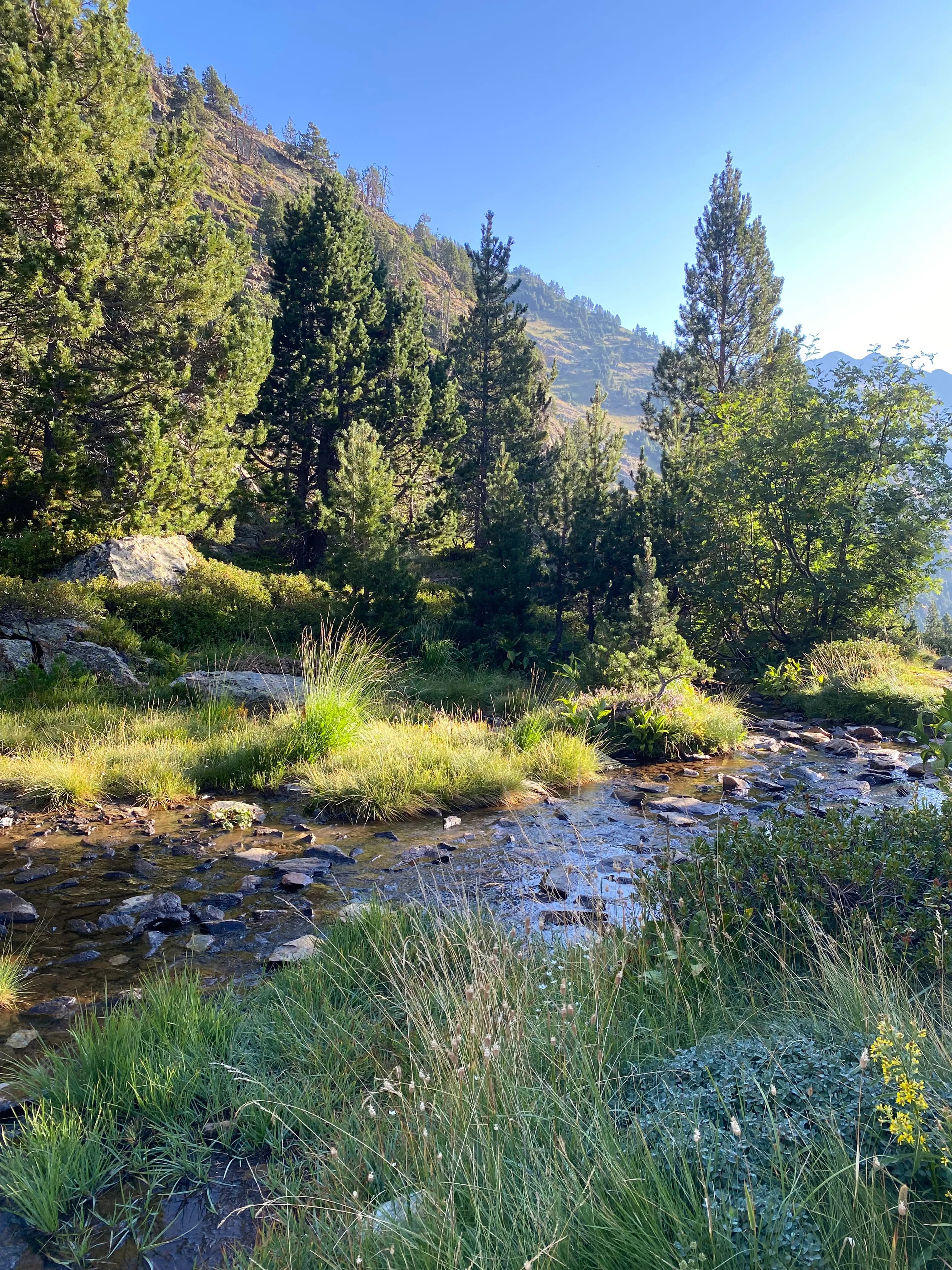
The trail continues to ascend to the Collet de Comapedrosa (2,226 m), from where for the first time you can see the real effort remaining. Just behind, slightly higher up and partially hidden, is the Comapedrosa Refuge at 2,260 meters. It is the natural resting point of the route and the most suitable place to regain strength if the pace has been demanding.
Section 2 — Refuge to Estany Negre (2,260 m → 2,600 m)
From the refuge, the path briefly descends towards the Pleta de Comapedrosa, a high mountain plateau that spectacularly opens up the landscape. You advance westwards and the terrain alternates between grassy areas and the beginning of scree slopes.
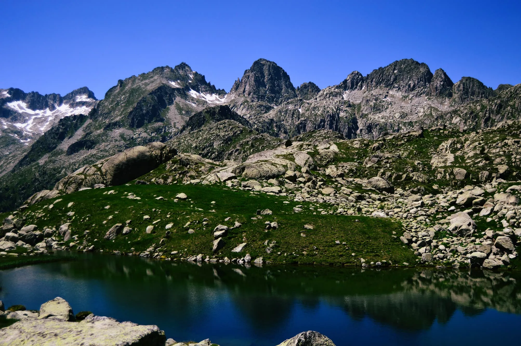
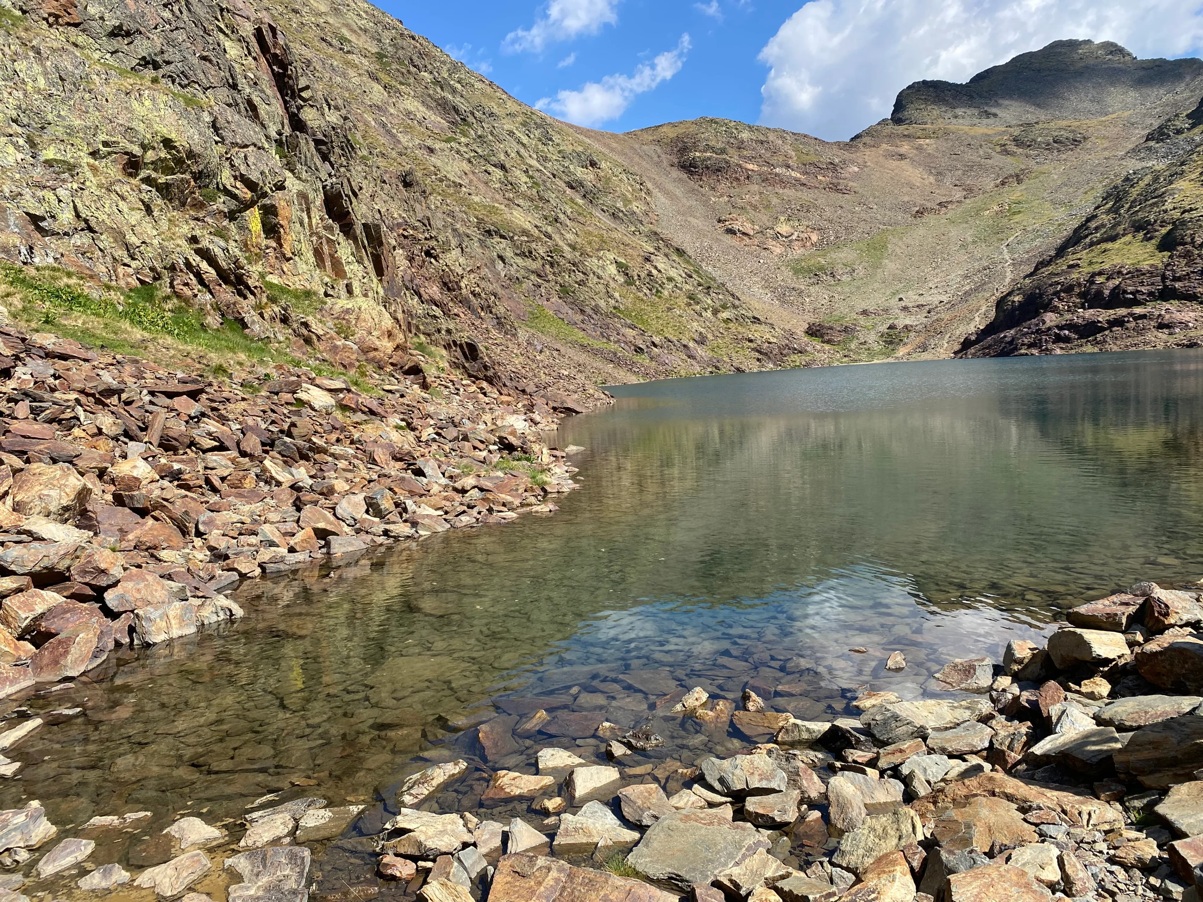
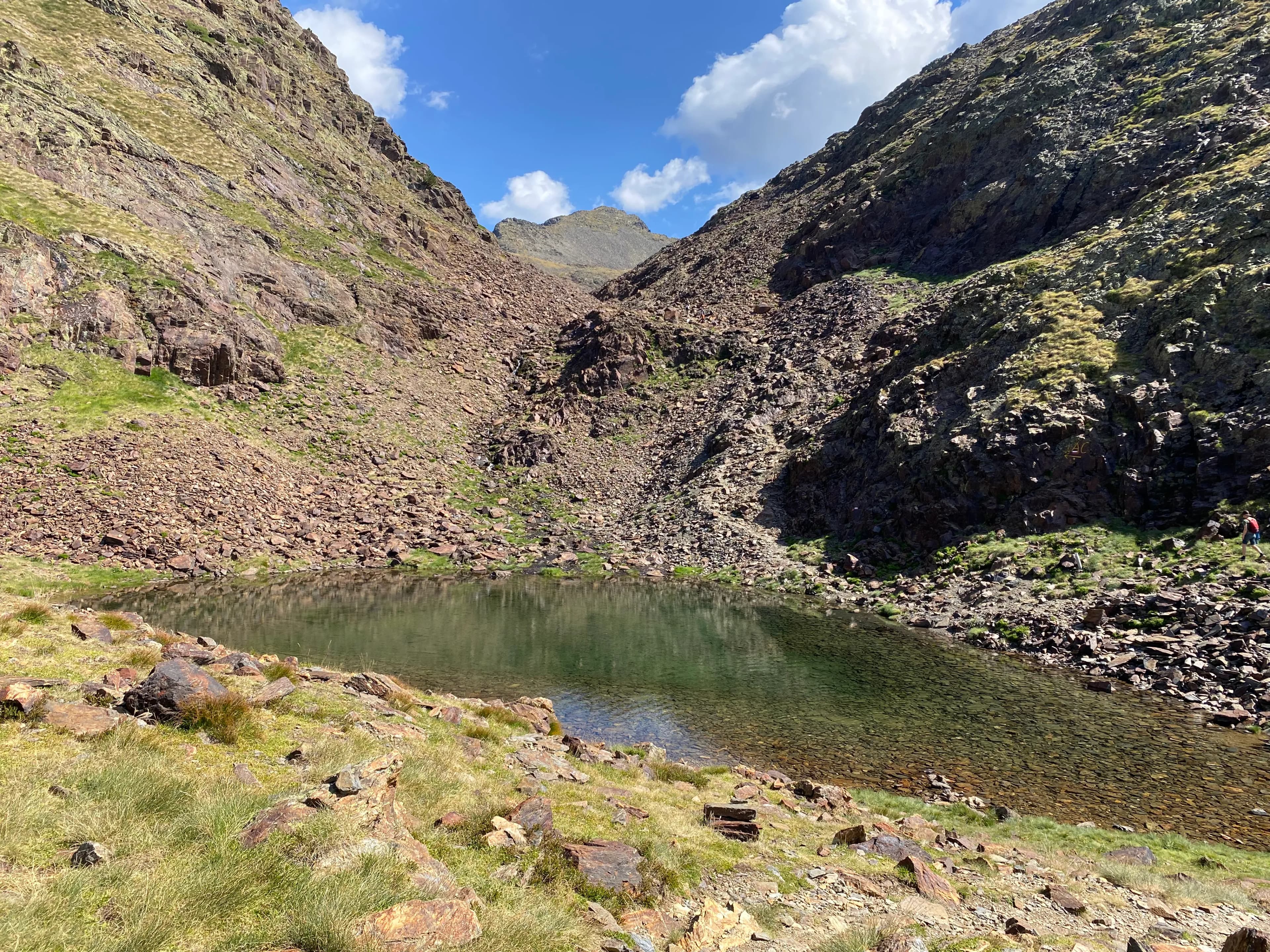
At 2,500 meters, in the area known as les Canyorques, the path turns northeast. The refuge is now far below, and Estany de les Truites becomes visible nearby. A few meters higher up, skirting to the right, Estany Negre appears at about 2,600 meters: a glacial lake with dark waters surrounded by rock and loose stone, which is one of the most recognizable photographic moments of the route.
Section 3 — Estany Negre to the summit (2,600 m → 2,942 m)
From Estany Negre, there are two options to reach the summit:
Variant | Description | Difficulty |
SW Ridge (recommended for ascent) | It deviates to the right before the lake and ascends along the ridge following yellow markers. It requires using hands in short sections, but the orientation is clear. | High |
West Face (alternative for descent) | Direct but via loose scree with a steep slope. Faster, less technical, but requires great caution with the stones. | High |
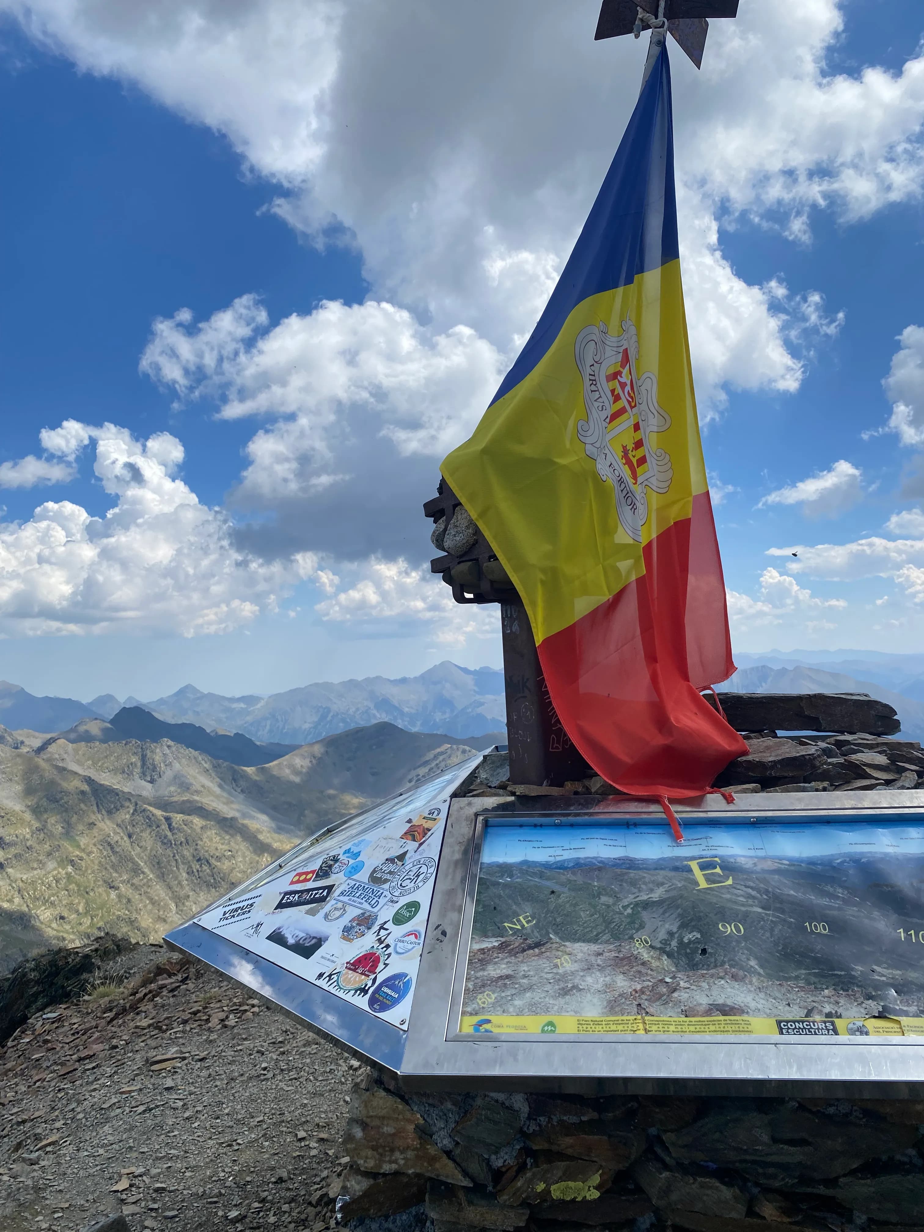
Under normal summer conditions, no technical equipment is needed. The greatest difficulty of the final section is the combination of rock, accumulated fatigue, and wind on the ridge. The summit is marked with a metal pole on a concrete block.
The descent: options and variants
Descending by the same ascent path is the simplest and safest option. Those who prefer a circular route can descend from the summit towards Collado Malhivern and from there connect with Portella de Baiau, returning via the refuge. This variant adds distance but offers completely different valley perspectives than the ascent. Keep in mind that the scree on the west face is technically easy but very demanding on the knees during the descent: descending this way requires as much concentration as ascending.
What can be seen from the summit of Coma Pedrosa?
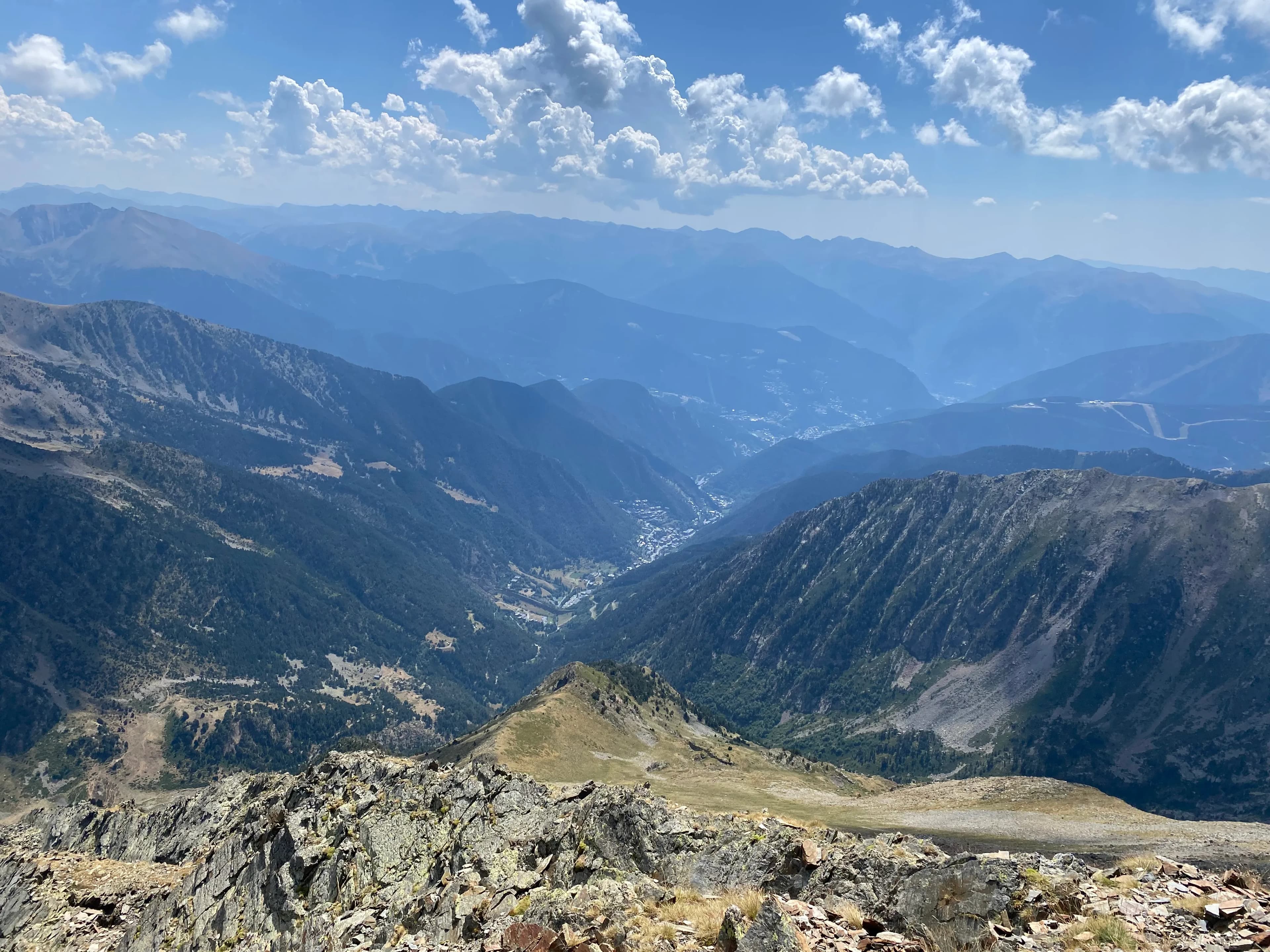
From the 2,942 meters of Coma Pedrosa, there are 360° panoramic views over the Pyrenees. Looking northwest, Pica d'Estats stands out at 3,143 meters, the roof of Catalonia. To the west, Portella de Baiau and the Baiau lakes. To the south, Pico de Sanfonts (2,885 m) and Pico del Port Vell (2,653 m). To the east, the entire Arinsal valley stretches out, with the village in the background, the Pal ski resort visible among the forest, and further away, Pico de Casamanya, Pico del Estanyó, Pico de la Serrera, and Pico de Tristaina. On very clear days, the Maladeta massif is visible, always snow-covered on the side facing Andorra.
What is the Comapedrosa Refuge like?
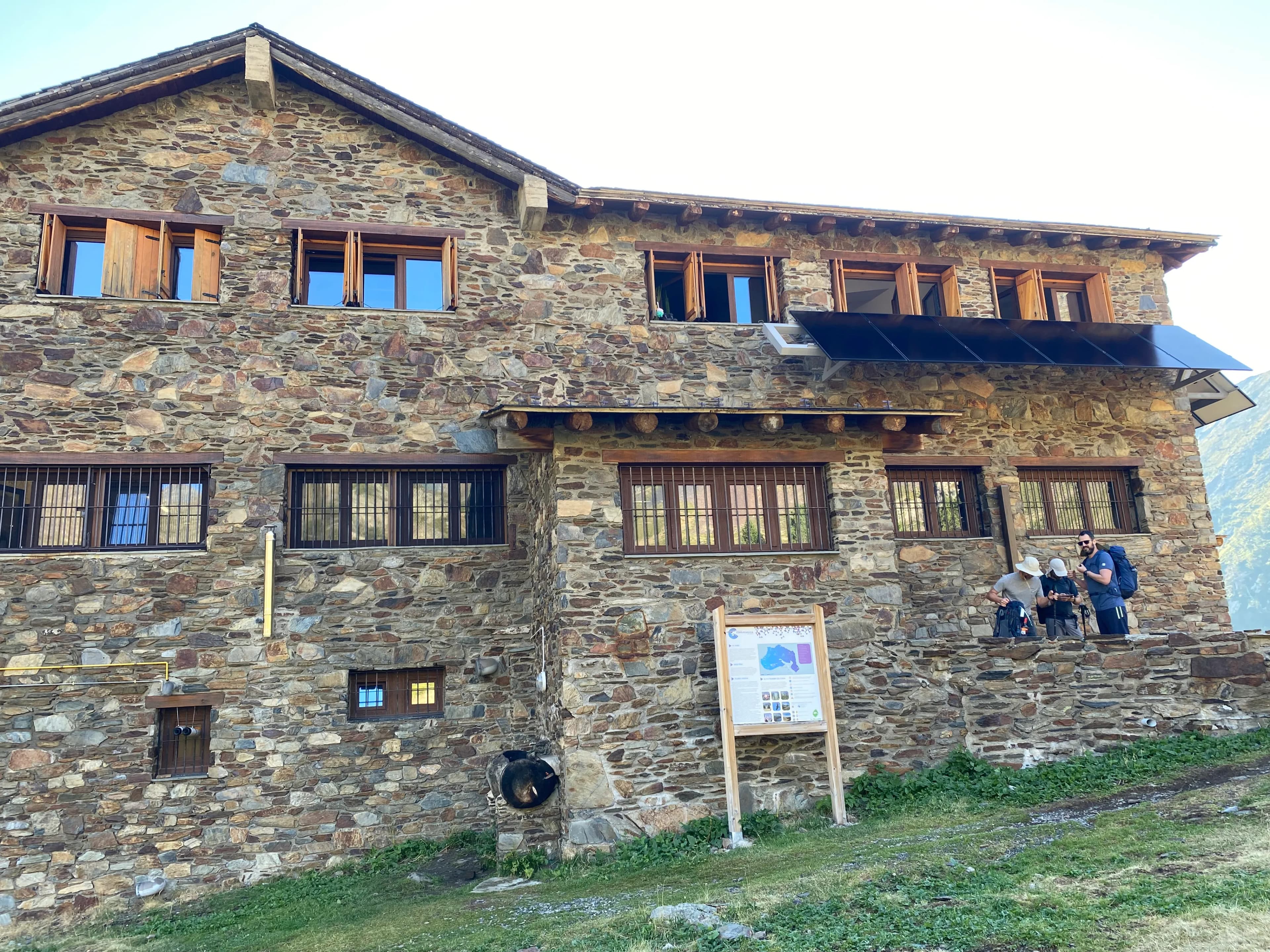
The guarded Comapedrosa refuge is located at an altitude of 2,260 meters, in the heart of the Natural Park, very close to Estany de les Truites. It is the fourth guarded refuge in Andorra and one of the most renowned in the Andorran Pyrenees. It is only accessible on foot via the Comapedrosa path.
It has a capacity for 48 people distributed over three floors. It offers toilets, showers, restaurant service, and overnight stays.
When is it open?
The refuge is continuously open from June to September. Outside this season, it operates by prior reservation.
How much does the refuge cost?
The rates listed below are published on the official park website (comapedrosa.ad). Verify their validity before your visit.
Service | General / Adults | Under 12 years old |
Accommodation | 14 € | 12 € |
Half board | 41 € | 32 € |
Breakfast | 9 € | 7 € |
Picnic | 12 € | 9 € |
Dish of the day | 11 € | 8 € |
Menu | 18 € | 13 € |
Federated members and Coronallacs discount holders receive a 10% reduction on accommodation and half board.
To do the route in two days, half board is the most comfortable option: it includes accommodation, dinner, and breakfast, and avoids having to carry more food than necessary.
Booking: reserves.refugicomapedrosa.com — Tel. (376) 327 955 — info@refugicomapedrosa.com
During high season (July and August), it is recommended to book several weeks in advance, as places fill up quickly.
What other shelters are there in the park?
In addition to the guarded refuge, the park has two free shelters, without warden service or catering, especially useful if you opt for the circular descent variant:
- Pla de l'Estany Refuge (2,047 m): a resting point on the circular descent route.
- Coruvilla Hut and Refuge (1,879 m): closer to the start of the route, on the descent.
Both are freely accessible, without reservation or cost.
When is the best time to climb Coma Pedrosa?
The recommended season is from late May to October. Within that period:
- July and August offer the best access conditions, with snow-free trails and the refuge fully operational.
- June and September combine lower crowds with extraordinary landscapes. In June, there may still be snow on the higher sections; check the route conditions before setting off.
- Early autumn (October) offers the most striking color contrasts in the park, with less heat and good visibility.
- Off-season (November–May): the risk of avalanches is significant in most of the park, according to Comapedrosa's official website. Winter ascent requires crampons, ice axe, and experience in winter high mountain terrain. It is not a route for beginners in this type of terrain.
What equipment do you need for Coma Pedrosa?
The route does not require technical equipment in summer but demands complete mountain gear. These are the essential items and clothing:
- High-cut mountain boots with good grip soles
- Warm jacket and windproof or waterproof layer (weather changes are frequent and abrupt in high mountains)
- Hat or buff for cold on the ridge
- Sunglasses and sunscreen + lip balm
- Enough water for the whole day (check with the park if there are water sources available on the route)
- High-energy food and snacks
- Trekking poles (highly recommended on scree and descents)
- Charged phone with verified emergency number (check Andorra's Civil Protection number at protecciocivil.ad before leaving)
- The official GPX downloadable from the Comapedrosa website
What are the most common mistakes on this route?
Underestimating the duration. The route has high difficulty, but its reputation as "technically accessible" leads some hikers to underestimate the actual physical effort. The elevation gain of over 1,300 meters and the duration of 6 to 8 hours are demanding for those who don't regularly hike in the mountains.
Not checking the weather before setting off. High mountain weather can change rapidly. A storm on the ridge section can seriously complicate the descent. Check the forecast the day before and on the morning of the route day.
Not booking the refuge. In July and August, the refuge often fills up. If your plan includes staying overnight, book weeks in advance.
Leaving too late. To complete the route comfortably and with a safety margin, it is ideal to start hiking before 8 AM.
Not bringing warm clothing. Even if it's hot in the valley, the temperature on the ridge and summit can be several degrees lower, and the wind can be intense.
Are there alternative routes for those who don't want to climb to the summit?
Yes. The Natural Park offers ten itineraries of varying difficulty. These two are the most recommended options for those who prefer not to tackle the full ascent:
Comapedrosa Refuge Path: one of the most visited routes in the Principality. It ascends from the Pla de l'Estany track to the guarded refuge at 2,260 meters. It is the first section of the main route but, taken as an objective in itself, it is accessible for people with good physical fitness and no high mountain experience.
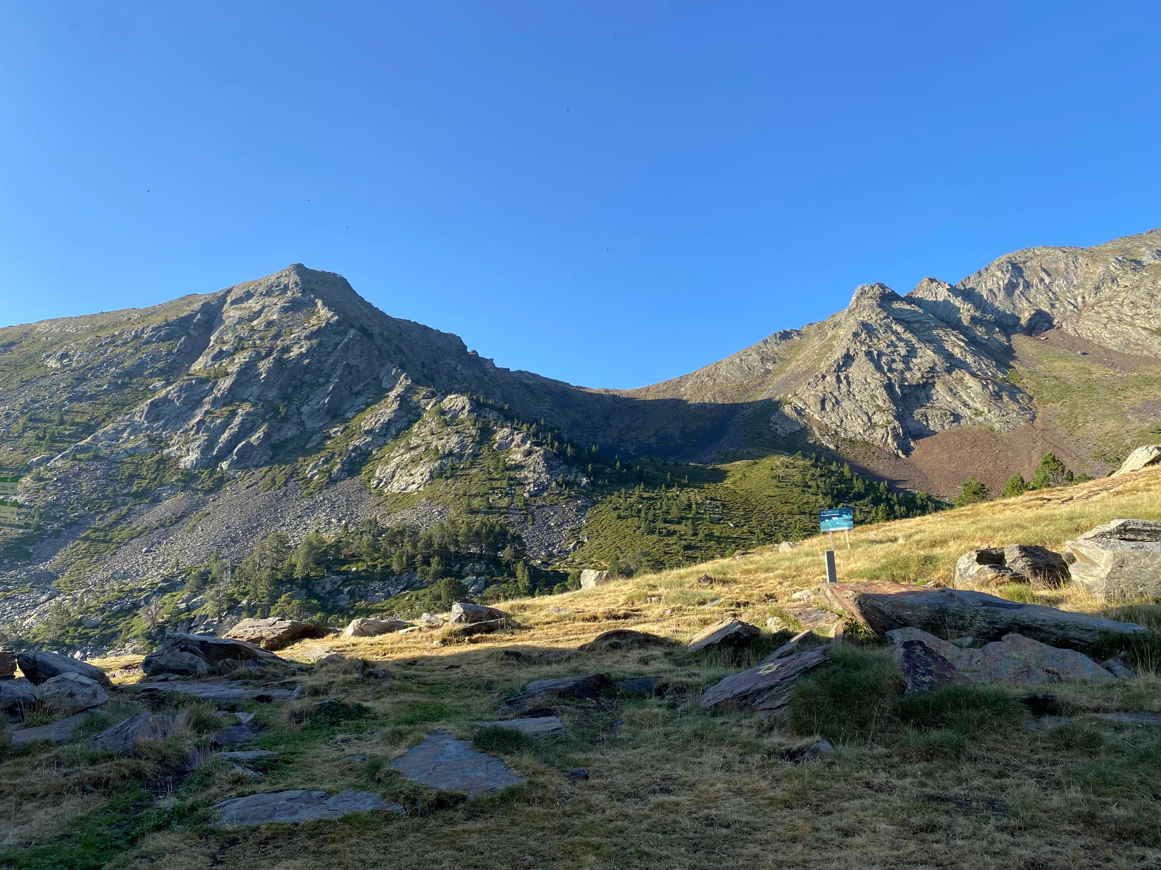
Percanela-Les Fonts Path: 3.5 km (one way) with 576 meters of positive elevation gain, approximately 2 hours of walking. It passes by the Refugio de les Fonts and crosses an extensive black pine landscape. It is one of the most suitable routes if visiting the park with children or people looking for something less demanding.
For a family visit without significant elevation gain, the Interpretive Circuit around the refuge is the best option.
Coma Pedrosa and the Skyrace: why this peak is an international benchmark in trail running
Every year, in July, Coma Pedrosa becomes the setting for the Mountain Festival Comapedrosa, one of the most renowned trail running events in the Pyrenees. In 2026, its 22nd edition was held on July 25th and 26th, with approximately one thousand participants and four different distances:
Race | Distance | Elevation gain + | Date |
Vertical Comapedrosa | 7.89 km | 1,483 m | Saturday |
Skyrace Arinsal | 18.62 km | 1,456 m | Sunday |
XTERRA Skyrace Comapedrosa | 24.89 km | 2,184 m | Sunday |
XTERRA Marathon Comapedrosa | 35.66 km | 3,028 m | Sunday |
The event is part of the official XTERRA Trail Run World Series calendar. Runners like Kilian Jornet have competed on these same trails that any hiker climbing Coma Pedrosa uses. The fact that the Skyrace circuit largely follows the same route as the trekking path is, in itself, an argument about the type of mountain Coma Pedrosa is: technical, demanding, and visually extraordinary.
Safety tips before heading out
The Comapedrosa Valleys Communal Natural Park recommends, for any mountain outing:
- Check the weather forecast in advance
- Choose the route based on your physical preparation and actual knowledge of the terrain
- Inform someone of your planned itinerary and estimated return time
- Carry your phone charged with Andorra's emergency number (check it at protecciocivil.ad)
- Respect the signage and do not leave marked trails
- In spring, pay special attention to avalanche risk: most of the park has a marked risk during that season
Where to stay for the Coma Pedrosa route?
The ascent requires an early start. Staying the night before in La Massana or Arinsal allows you to arrive at the start of the route rested and without the need for a long journey first thing in the morning. La Massana is the parish where the park is located and offers a wide range of hotels, apartments, and rural accommodations just a few minutes from the starting point.
Coma Pedrosa is Andorra's most symbolic high-mountain excursion. It is a route that demands real physical preparation, unforgiving to those who underestimate it, but accessible to anyone with mountain experience and adequate equipment. The combination of forest, high plateau, glacial lake, scree, and final ridge compresses an almost complete synthesis of the Pyrenean landscape into 15 kilometers.
Plan your day well: book the refuge if you're staying overnight, check the weather, leave early. The mountain will take care of the rest.
Frequently asked questions
You may be interested in